A couple of days ago I told you Bob had something very special planned for us . I didn't give any hints as to what it was, but today we did it!
Our day started early.
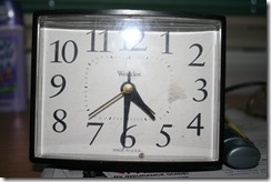
Yes, that's 4:30 in the morning! It's been a long time since we've been up that early and it damn well better be I hope its a long time before we're up that early again.
Just my luck I woke up with a bad case of bed head and had to wash my hair before we could leave and get on with our adventure.
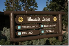
We got our belongings together and at 5:30 made our way out to the shuttle stop. We took the shuttle to Maswik Lodge to meet up with the others who are going to share our adventure today.
We got here plenty early so Bob had breakfast while I walked through the gift shop and then sat outside when I was done.
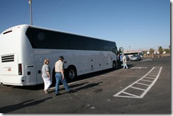
Before too long our transportation arrived. This bus was very comfortable and new.
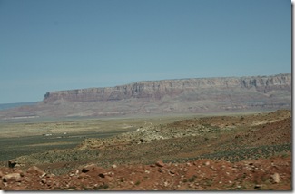
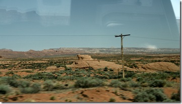
We drove along and I took some pictures along the way. What a nice way to start the day.
The scenery was just unbelievable!
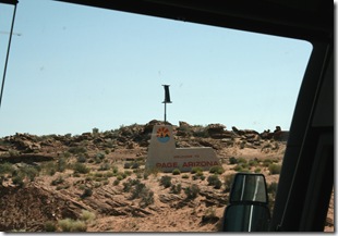
Our destination was Page, Arizona.
Page, Arizona home of Glen Canyon Dam and Lake Powell, was founded in 1957 when the need for a community came to be with the start of the building of the Glen Canyon Dam. The dam was to be the dividing point of the Upper Basin and Lower Basin of the Colorado River.
Because the land was, by treaty, part of the Navajo reservation, the Bureau of Reclamation, working together with the Bureau of Indian Affairs and the Navajo Tribe, had previously effected a land exchange. The tribe was given land in New Mexico in exchange for the 17 square mile area that would become the site of Page.
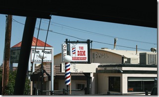
As we drove into town, Gigi, our bus driver explained that in Page everything is named dam this and dam that. A picture to explain.
Gigi further explained that in the very center of town are the schools. All next to each other, elementary, middle and high school, all on the same block. Surrounding the schools are churches, one next to the other all around the block of schools. Behind the churches are homes and businesses.
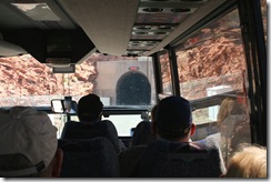
It was on the outskirts of town that Gigi parked and we got off her bus. This was as far as she could go. You see at the Glen Canyon Dam we had to go through a tunnel and because of Homeland Security we had to board a special bus for the two mile trip through it.
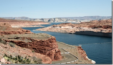
We had a little while to wait for our tunnel bus so I had the opportunity to take some pictures of Lake Powell.
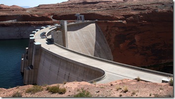
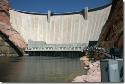
And a picture of Glen Canyon Dam.
Look at dead center in the picture below. That is the tunnel we have to go through.
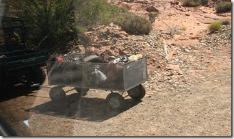
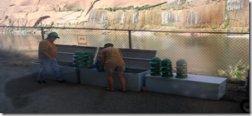
We couldn't take any of our belongings with us for security reasons so we loaded them into this little trailer that dam personnel will get to the other side.
Here we are, getting ready to go through the tunnel.
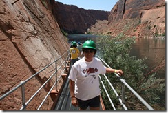
When we got to the other side we had to don hard hats because of where we had to walk.
Here's me in mine.
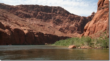
You may have guessed by now we are going to float down the Colorado River within the walls of the Glen Canyon. Can you see how clear the water is?
A view of the dam from the canyon floor.
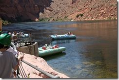
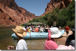
One of the boats already loaded and starting their float.
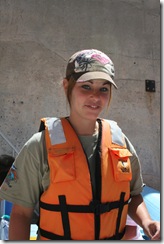
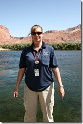
This is Lauren, she'll be our guide for the day. She's nineteen years old and attends college studying nursing. Today was the first day she took a tour out on her own and she did a bang up job! She's a cutie isn't she?
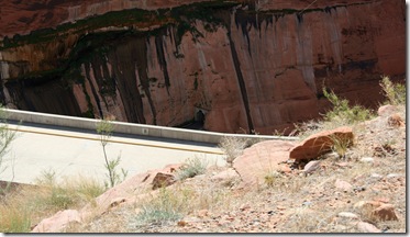
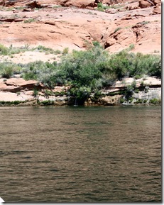
Everyone settled, we were on our way. Here we saw a small waterfall coming out of the rock. Look dead center.
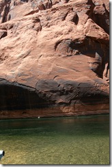
This water looks inviting but it is a cold forty seven degrees. It never warms up even though the floor of the canyon will get well over a hundred degrees in the summer and never gets any colder, a constant 47 degrees.
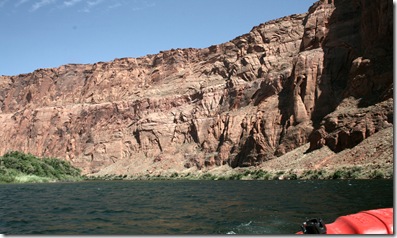
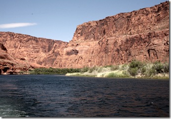
The canyon walls are about 700 feet in this picture but they will get much taller.
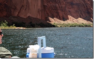
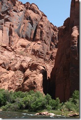
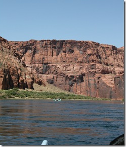
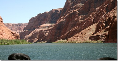
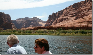
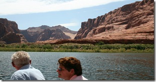
The scenery was absolutely beautiful.
We floated along very slowly even though our raft had a 135 hp motor on it.
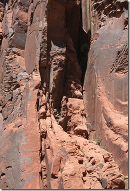
As we floated along Lauren pointed out things to us such as what's in the picture below. Can you see the man made out of rock? Look just below dead center.
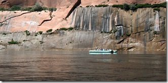
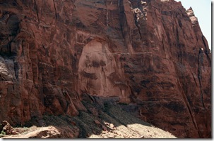
This next picture is of Pacman's Ghost. Personally, I don't see it. I only put this in here so that I could show you how big these canyon walls are. The cutout section in the center is 400 feet tall!
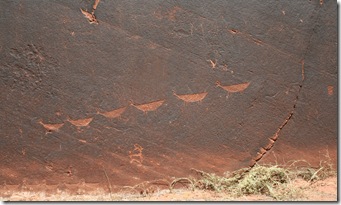
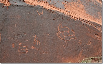
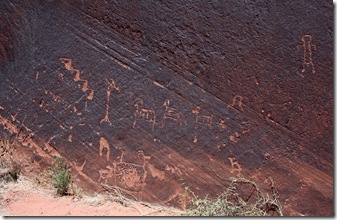
We came to a place in the tour where we were getting off the boats. We walked a trail back to a petroglyph panel. On the way there were four very nice, clean bathrooms if we needed them. We soon came to the panel and there was a park ranger there to explain what we were looking at. As best as they can figure the Indians who made them did so about 700 years ago. I can't remember the name of the tribe.
The "W" in the picture above was not something the Indians put there, some jerk tourist decided to add his own handiwork. The large drawing just right of center possibly signifies twins being born.
It also looks like the Indians were drawing big horned sheep in this next picture. (click to enlarge)
Its time to load back onto the rafts.
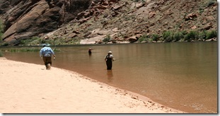
But not before I snapped this picture of these fisherman. Keep in mind, they had to be brought here by boat.
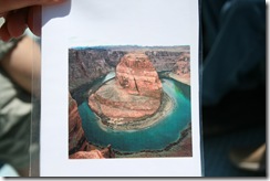
We were in one section of rafting trip called the "horseshoe". We couldn't tell from where we were sitting but Lauren had a picture taken from the air of the section of the river we were on.
Scenery.
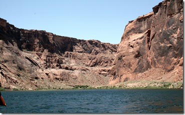
This section of the canyon walls are 1200 feet high.
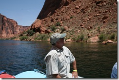
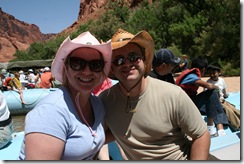
Bob checking things out.
It's time for lunch.
We knew lunch was included on the float but we had no idea what it was going to be like or if we would get enough. Boy, were we surprised!
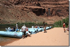
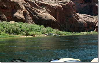
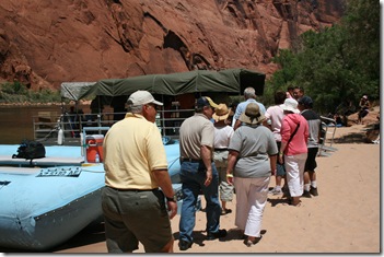
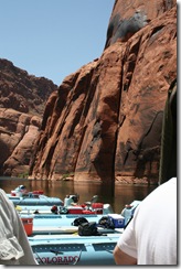
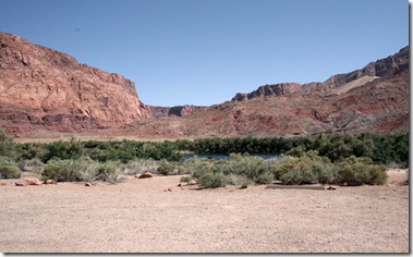
We pulled onto a beach where a party barge or pontoon boat was already docked.
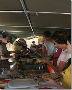
We had our choice of bread, lunch meat and cheeses, lettuce, tomato, onion, trays full of sliced carrots and celery, cookies, crackers and drinks. We could have as much as we wanted.
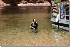
Here's Lauren, our guide, who braved the cold waters of the Colorado.
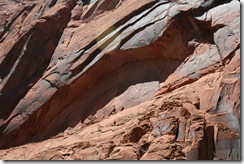
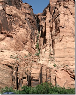
Close up of the rocks that make up the canyon walls.
Its time to move out.
When we got back on our raft we talked with this one couple and found out they were from Allentown, Pennsylvania. Meet Bernie and Greg.
Sections of the canyon wall rocks turn black. This is called desert varnish.
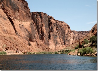
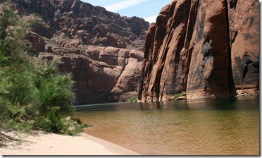
Scenery as we floated along.
These rocks signify that there is a fault line under the river.
Back in the late 1800's Mr. Powell, for whom the nearby lake is named, hired a young man to draw maps and pictures of the canyon. He climbed up to the top of the peak, in the center of the picture below, and shot a gun into the river. He didn't hear anything.
These are walls opposite of the peak shown above. They are now known as Echo Peak.
It takes 24 seconds for the sound of gunfire to make its way back to the point of origin.
All too soon, actually five hours later, we pulled into the end of the line for us. Lee's Ferry. Gigi, our bus driver there waiting for us with bus all cooled down with a/c and a big cooler of iced down water.
Our last look of the view as we boarded the bus.
On our way back Gigi asked us if we could see the train car. We could, can you?
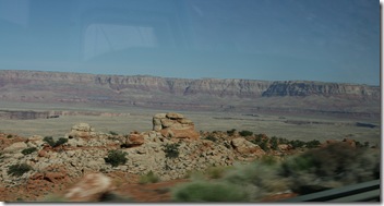
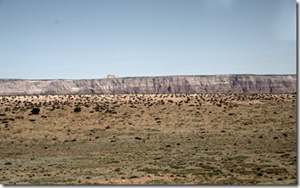
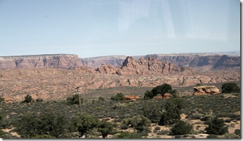
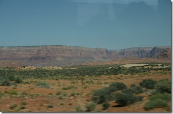
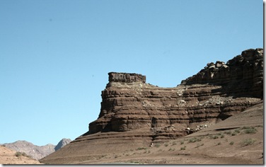
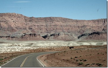
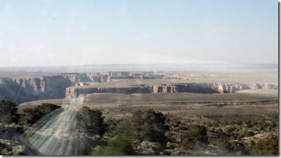
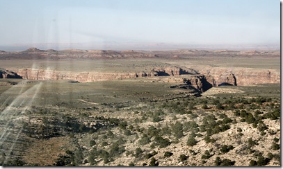
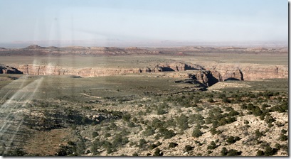
Views from the road on the way home.
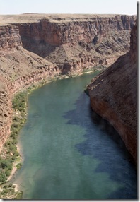
A look at the Colorado River.....
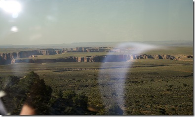
These pictures were taken through the windows of the bus and aren't the best of quality but I'm posting them anyway to show the canyons that are all over this area. This is known as the Little Colorado Canyon.
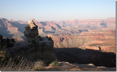
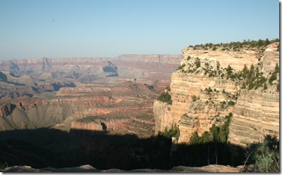
When we got back to the park Gigi pulled over in one the overlook lots and let us get off the bus to take some late afternoon light pictures of the Grand Canyon.
So that was our day on the Colorado River as we floated down Glen Canyon. What a day! It could not have been any better and I'm so glad and thankful that Bob made arrangements for this trip of a lifetime.
3 comments:
We are sooo jealous! We absolutely love being on anything that floats lazily.
I can actually see the Pacman's Ghost.
What a great trip!! Looks like you had a good time. The pics are great.
Looks like something we'd like to do in 2009! Looks relaxing too. You have a great husband to find something so enjoyable! Wish we were still out there!
Post a Comment